AlphaAir 15
Pushing the Boundaries of UAV Sensing and Mapping
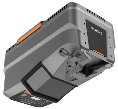
Built on cutting-edge LiDAR technology, the AA15 combines high-end CHCNav laser scanner, high-end multi-constellation GNSS/inertial sensors, and an add-on high-resolution RGB camera
-
Long-range LiDAR scanning capability of up to 1800 m
Highest data quality and point density, up to 2 million measurements per second, scan speed up to 600 lines per second, and field of view of 75°
Supports several external camera accessories, including CHCNAV’s 45 or 61 MP full-frame calibrated cameras and a 130 MP oblique camera
Flexible and easy installation on diverse platforms, including helicopters, small aircrafts, and various drones, including CHCNav X500
Seamless data processing, feature extraction, and compatibility with other industry-standard tools
Ideal for large-scale corridor mapping operations such as power lines, highways, railroads and pipeline inspections, and well suited for open-pit mining, urban mapping and forestry applications
Main Features
-
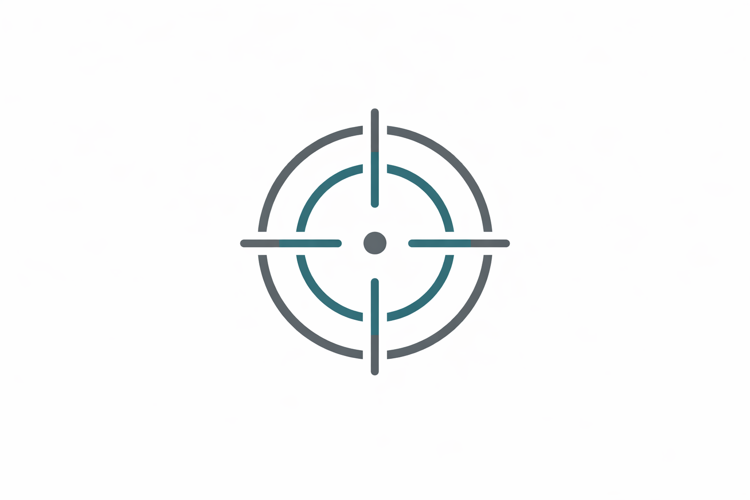
High-Precision LiDAR
15 mm linear accuracy at 150 meters.
-
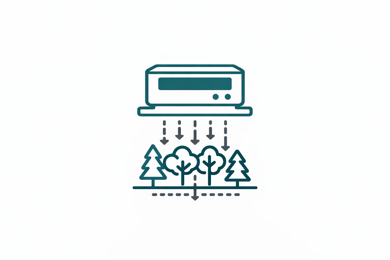
High Penetration
Up to 16 returns per pulse for vegetation penetration.
-
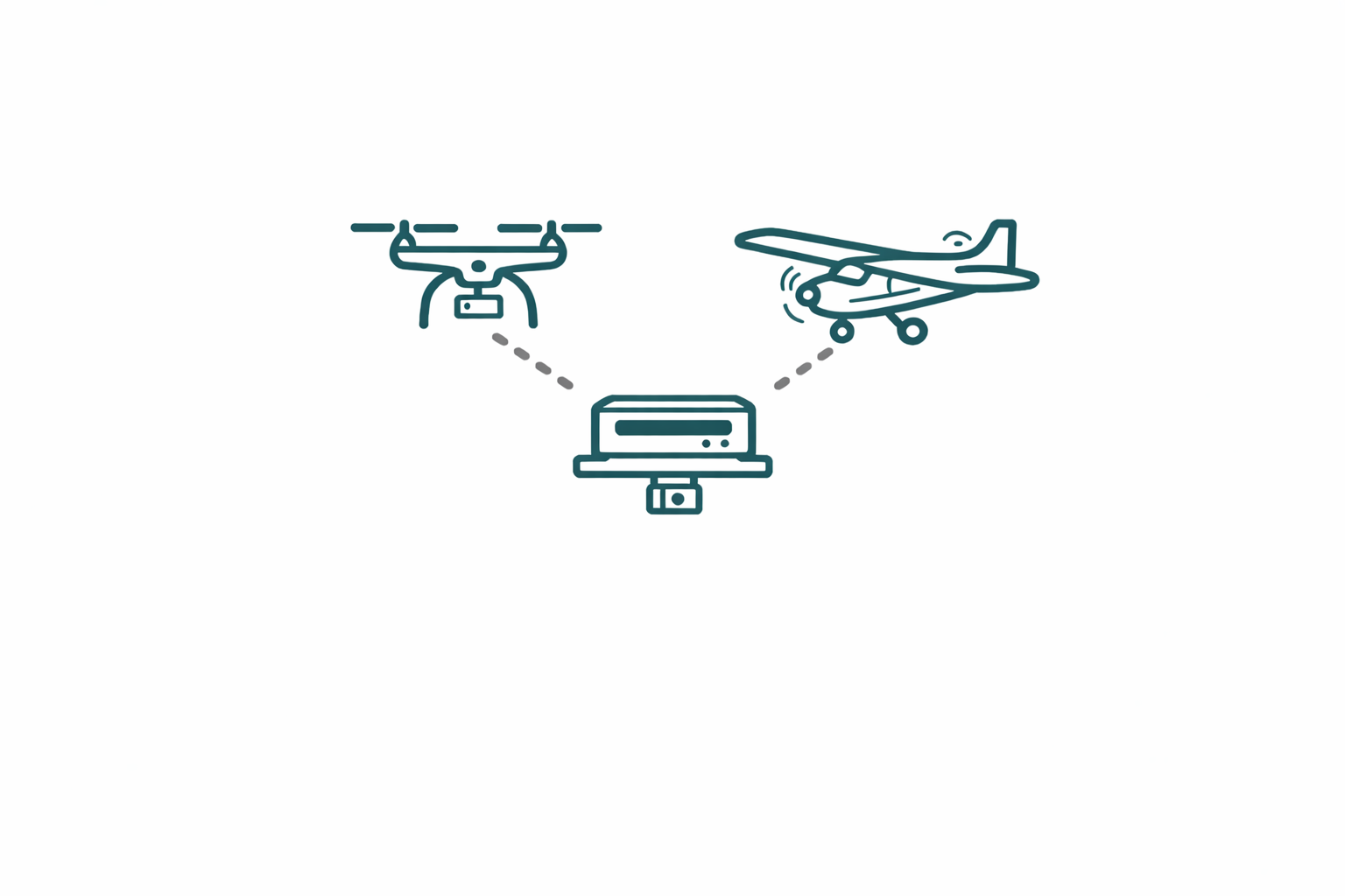
Multi-Platform
Easy integration with UAVs, aircraft and helicopters.
-

Imaging Options
Multiple camera types for high-resolution data fusion.
AA15 in Action
Specifications
Laser Scanner
Range: 1800m
Scanning Rate: 2,000,000 pulses/sec
Field of view: 75°
Returns: Up to 16
Positioning
GNSS: Full GNSS
IMU: 600 Hz
Precision max: <5cm H / <5cm V
Sensors
Camera: Optional external camera