AlphaAir 450
Best Cost-Performance UAV LiDAR+Imaging in Class
All-in-one, lightweight and rugged LiDAR+Imaging system with built-in 3D laser scanner, high-resolution camera, all-constellation GNSS, and high precision IMU
-
Lightest in class: 0.95 kg total weight, including LiDAR, RGB Camera, GNSS, and IMU
Long range scanning combined with high resolution imaging
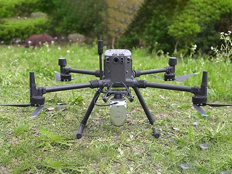
Supports a variety of UAV platforms, including DJI M300 and M350 RTK
One-touch data acquisition or through drone controller
All-in-one processing software, including strip adjustment and orthomosaic, as standard features
Main Features
-
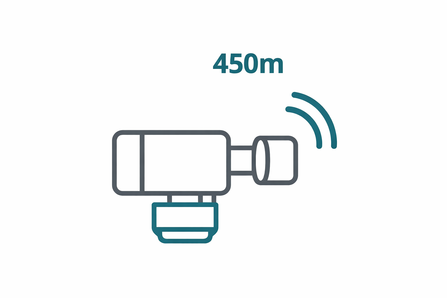
LIVOX AVIA Scanner
Long-range scanning up to 450m.
-

26 MP Camera
High-resolution imaging.
-
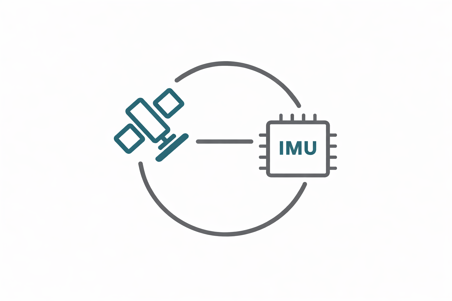
GNSS + IMU
High-precision inertial navigation.
-

Skyport Interface
Easy integration with DJI and other UAVs.
AA450 in Action
Specifications
Laser Scanner
Range: 450m
Scanning Rate: 240.000 / 480.000 / 720.000 pulses/sec
Field of view: 70.4°
Returns: Up to 3
Positioning
GNSS: Full GNSS
IMU: 500 Hz
Precision max: 10cm H / 5cm V
Imaging
Resolution: 26 MP