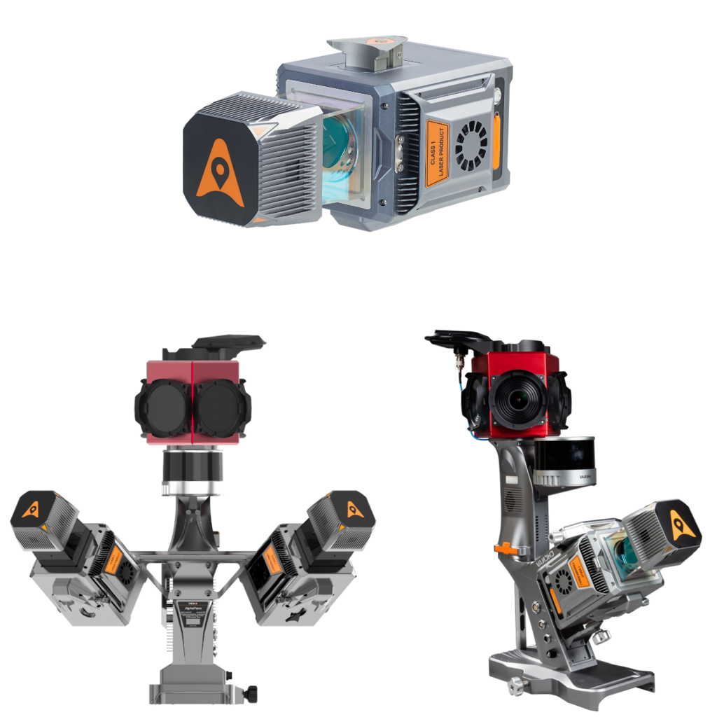
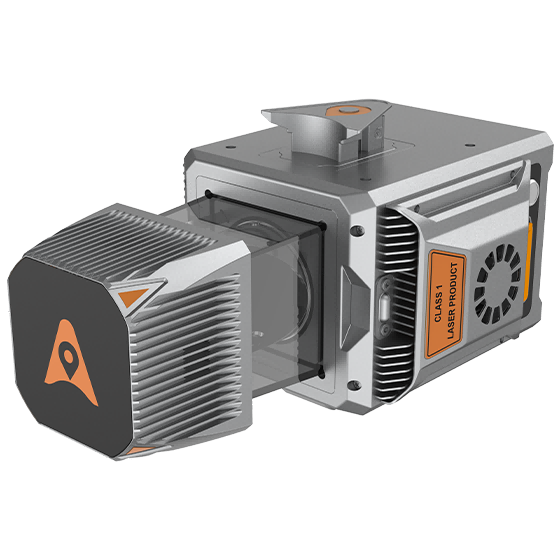
AlphaUni 20
Multi-Platform High-End LiDAR Solution
A new generation of high-end cost-effective multi-platform LiDAR solution, providing best combination of point cloud density, precision, and survey-grade accuracy
-
Long-range LiDAR scanning of up to 1450 m, along with extremely high-speed scanning of 2 million points per second and scanspeeds of up to 200 scans per second
Extremely high quality point cloud with low range noise
Strong vegetation penetration, up to 16 target echoes, ability to easily generate real DEM, DSM in challenging conditions
Various imaging systems to support different platform setups, including full-frame camera for high-accuracy UAV LiDAR+Imaging
Simple setup on various platforms, including crewed aircrafts, drones, vehicles, marine vessels, and even backpack
AlphaPano vehicle installation platform, which include panoramic camera and SLAM scanner integration for optimized position in GNSS challenging environment
All-in-one processing software, including strip adjustment and orthomosaic, as standard features
Ideal for road and rail infrastructure mapping, digital twin, utility and asset management
Main Features
-
High-Accuracy
Absolute accuracy of 2 to 5 cm, even in difficult site conditions.
-
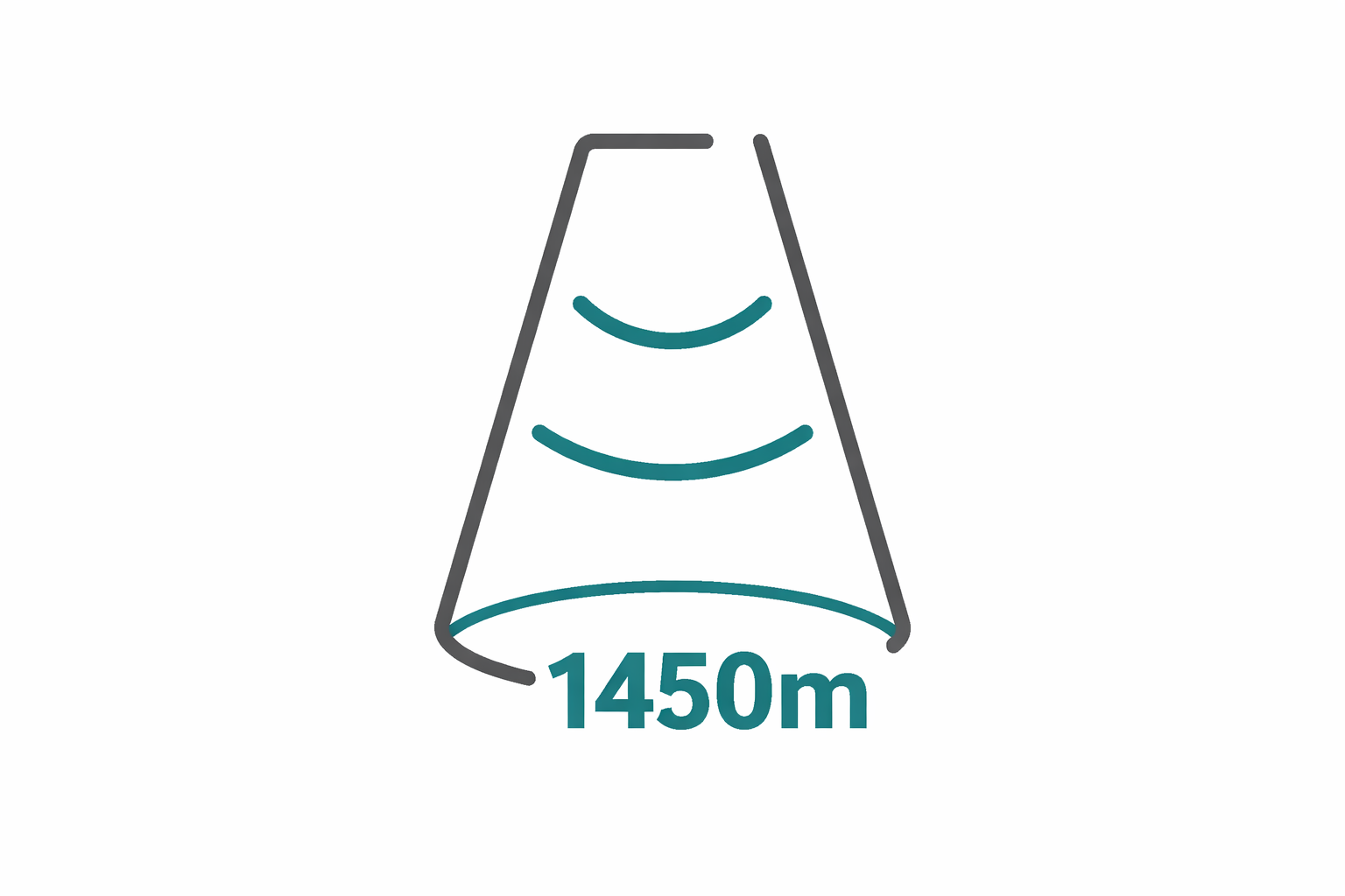
Long-Range
Scan up to 1450 m with high point density.
-
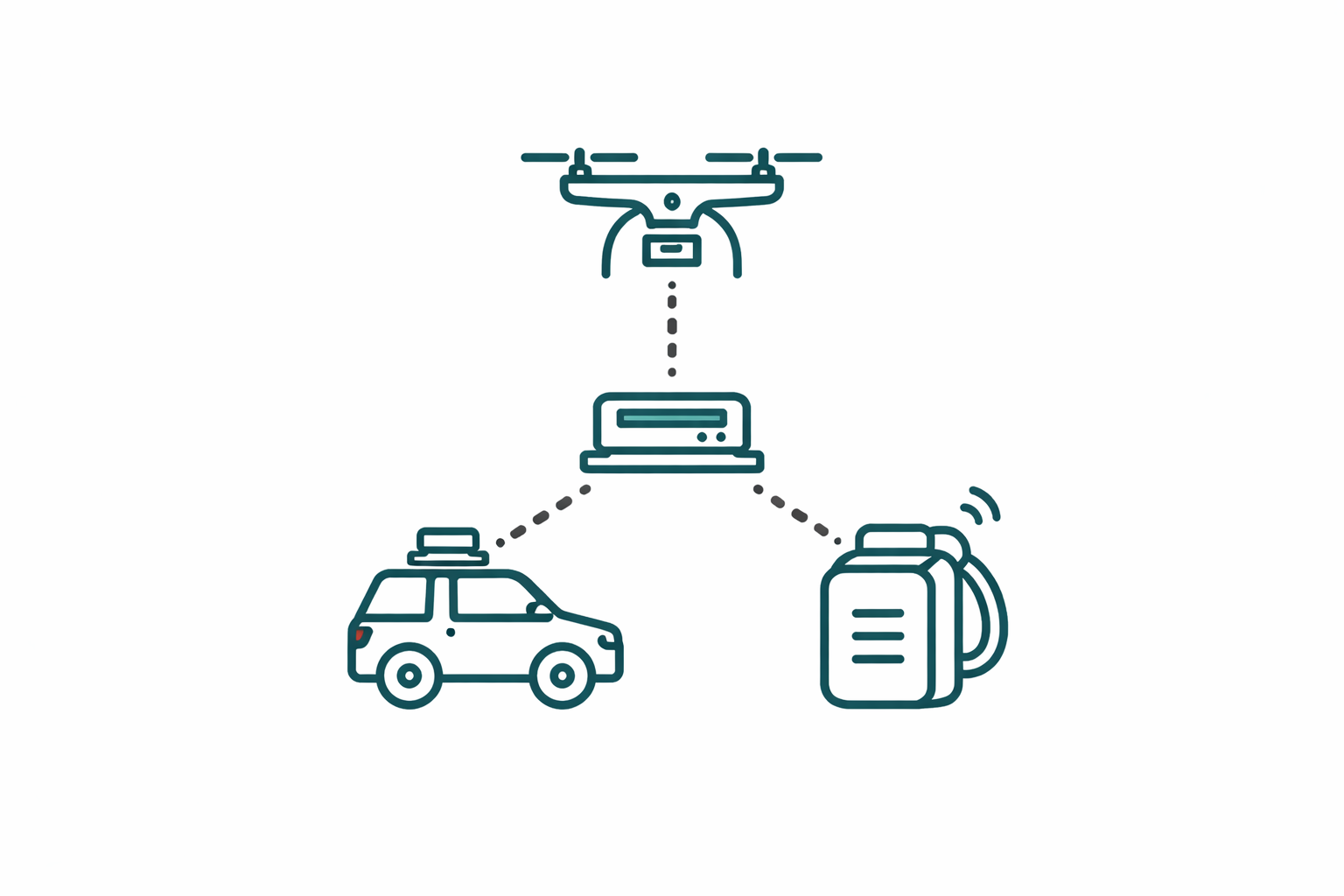
Multi-Platform
Flexible integration with UAVs, vehicles, and backpacks.
-
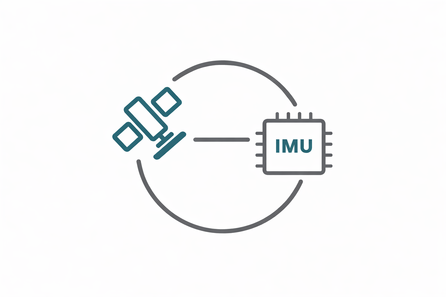
Precision GNSS + IMU
High-precision navigation system for accurate data collection.
AU20 in Action
Specifications
Laser Scanner
Range: 1450m
Scanning Rate: 2,000,000 pulses/sec
Field of view: 360°
Returns: Up to 16
Positioning
GNSS: Full GNSS
IMU: 600 Hz
Precision max: <5cm H / <5cm V
Imaging
Camera: Optional
Resolution: 45 MP
Focal Length: 21 mm / 35 mm