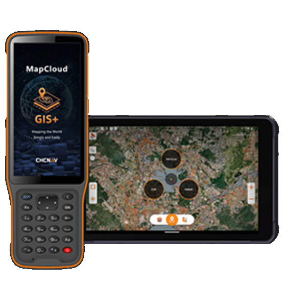
MapCloud
Advanced GIS Data Capture and Mapping App
MapCloud is a powerful field data collection software designed specifically for Android devices.
-
MapCloud is a powerful field data collection software designed specifically for Android devices. It integrates seamlessly with a wide range of GIS formats and CHCNAV GNSS RTK receivers, providing users with precise data collection capabilities. Tailored for professionals in pipeline management, forestry, utilities, and municipal asset management, MapCloud enhances field productivity and ensures efficient management of complex geospatial data.
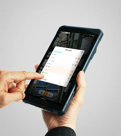
Comprehensive GIS Format Support
MapCloud efficiently manages popular GIS formats, including SHP, DWG, DXF, KML, GPX, and more. It integrates seamlessly into existing workflows and makes it easy to load, modify, and export data.
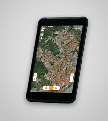
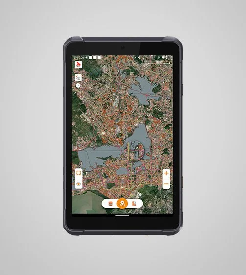
MapCloud advanced mapping engine quickly processes GB-grade SHP files and TB-grade TIFF files. You can easily analyze and manage large projects by visualizing detailed attributes and complex data sets.
Advanced Mapping Engine

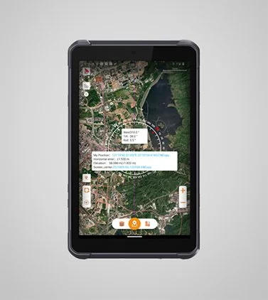
MapCloud offers two modes of data collection: directly from Android tablets or by connecting to CHCNAV GNSS RTK receivers, addressing both portable and high-precision surveying needs.
Flexible Data Collection
Extensive Measurement Capabilities
MapCloud supports multiple measurement methods, including coordinate stakeout, track recording, and length and area measurement. Voice prompts provide real-time guidance to improve jobsite operations.
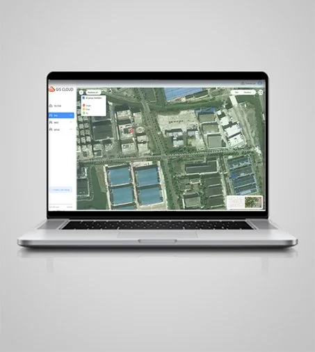
Enhance teamwork with MapCloud's cloud connectivity, which supports project backup, data sharing, and collaboration between field devices and office computers, making project management more efficient.
Cloud-Based Collaboration
Get the job done efficiently with MapCloud's user-friendly design, large map windows, and vivid graphics. The software includes customizable layer templates and simultaneous multi-feature capture.
Intuitive User Interface
Specifications

System
Operating system : Android
Languages : Over 25 supported
Interface
User menu : Customizable
Online basemaps : Google, Bing, WMS, WFS
Connectivity
Device : Bluetooth, Wi-Fi
Cloud : Data storage and remote support
Features
Functions : Data collection, stakeouts and more.
File formats : SHP, DWG, DXF, KML, GPX, TIFF, JPG, MBTiles