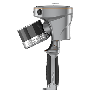
RS10
Handheld SLAM 3D Laser Scanner + GNSS RTK
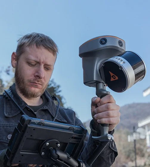
The RS10 integrates GNSS RTK, laser scanning, and visual SLAM technologies into one single platform. This fusion increases the efficiency and accuracy of both indoor and outdoor 3D scanning and surveying tasks. It gives surveyors the ability to work in areas with weak GNSS signals, providing unparalleled flexibility.
-
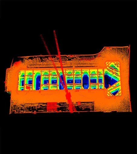
Enables real-time cm-level georeferenced point cloud, both indoor and outdoor. Users receive instant feedback, allowing them to ensure complete and detailed coverage
Through the Vi-LiDAR technology, the RS10 offers a new mode of RTK surveying, which combines GNSS rover capabilities with laser scanning for contactless offset measurements.
For surveying urban canyons and indoor spaces where GNSS signals are weak or absent, the RS10 calculates accurate RTK point coordinates, ensuring less than 5 cm precision within 1 minute in satellite-denied environments, opening up new possibilities for ubiquitous mapping
Provides a seamless workflow for surveying projects spanning outdoor and indoor spaces – all within the same coordinate system without requiring additional georeferencing steps
Eliminates the need for traditional loop closure, which enables users to scan target areas without having to return to previous locations. This streamlines field data capture and significantly reduces the time spent in the field
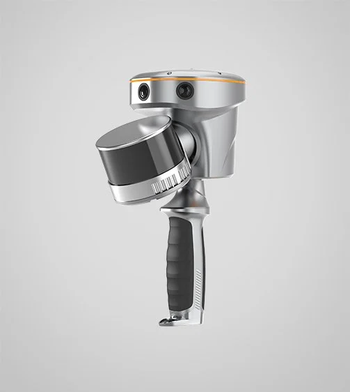
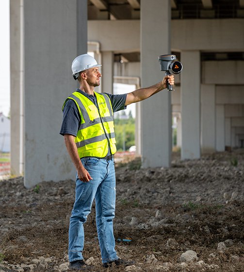
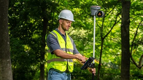
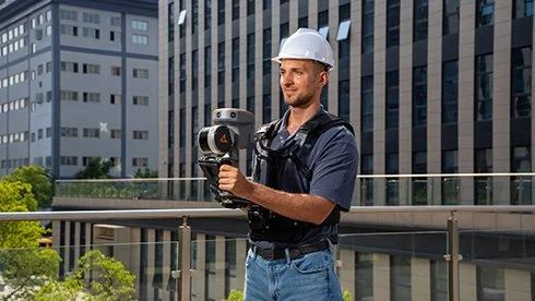
Can be used as a handheld, wearable scanner or can be mounted on a pole, an ATV or a backpack
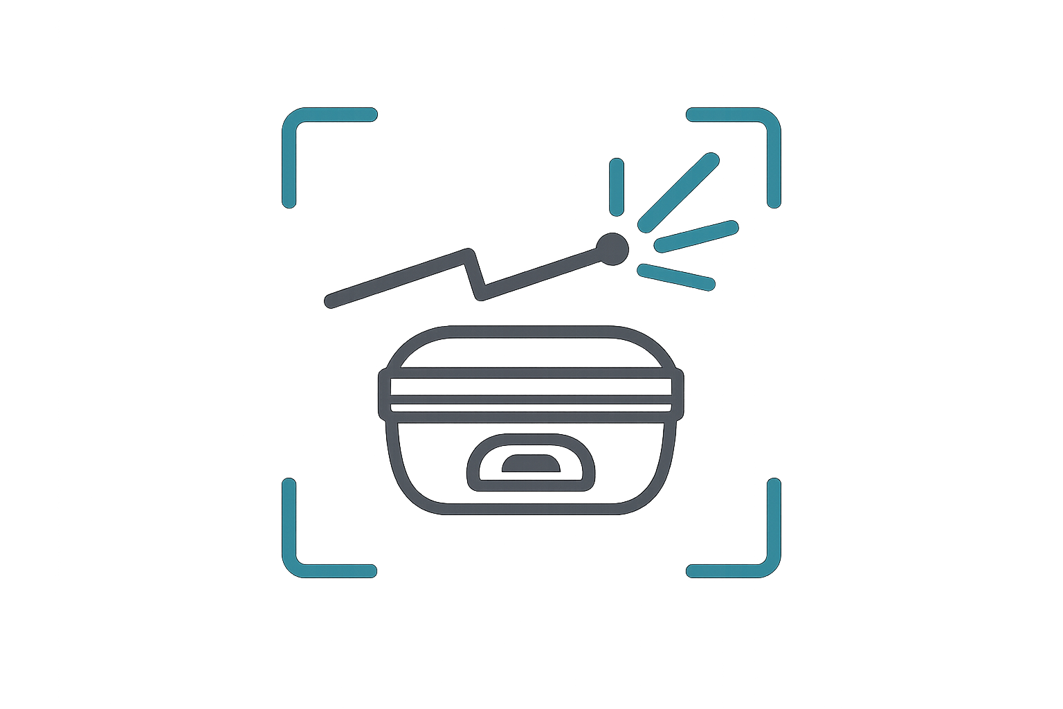
Ideal for surveying, construction, digital twin, mining, forestry, and data collection in underground
Main Features
-
GNSS RTK + SLAM
Combine RTK, laser, and visual SLAM to achieve 5cm absolute accuracy.
-

Real-Time Mapping
Real-time georeferenced point clouds in the field.
-
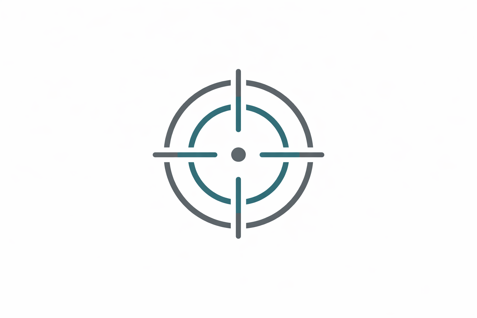
High-Precision
1 cm relative accuracy with GNSS and LiDAR technologies.
-
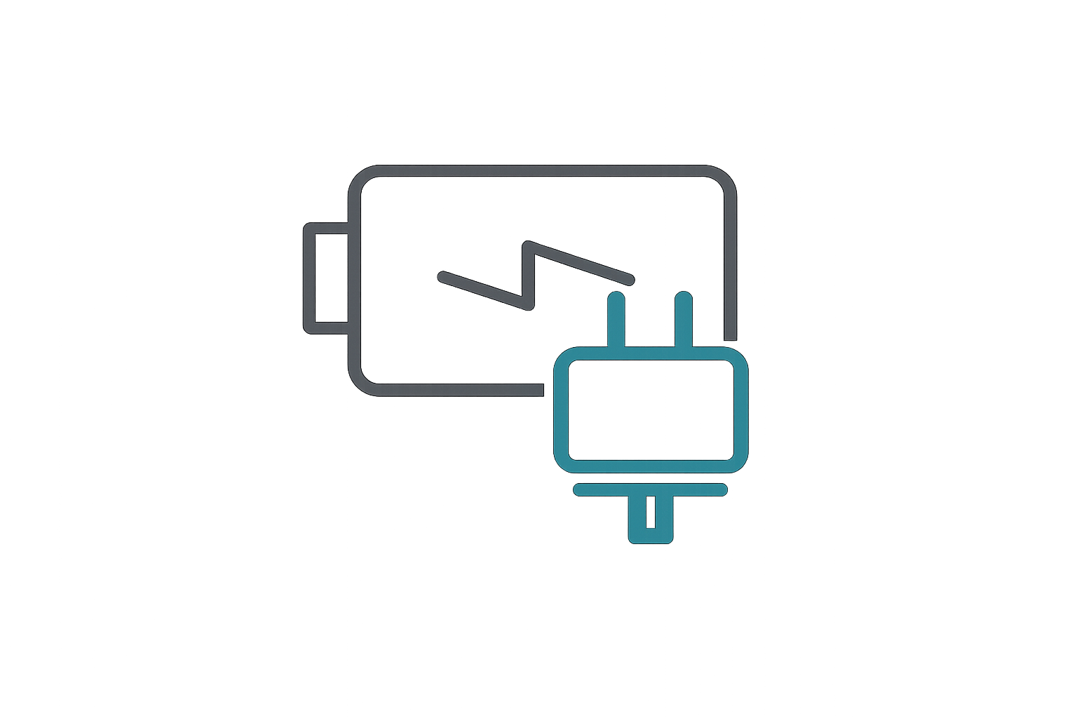
Hot-Swappable Battery
60 minutes per battery with hot-swap capability for uninterrupted operation.
Combine GNSS RTK and SLAM for unparalleled flexibility. The RS10 ensures precise data collection in areas with weak or no GNSS signals, enhancing indoor and outdoor surveying accuracy.
Integrated GNSS RTK and SLAM
Achieve 5 cm absolute measurement accuracy with the 4th generation GNSS antenna and high-precision LiDAR. The RS10 delivers reliable data for detailed architectural surveys and complex infrastructure projects.
High-Precision Measurement
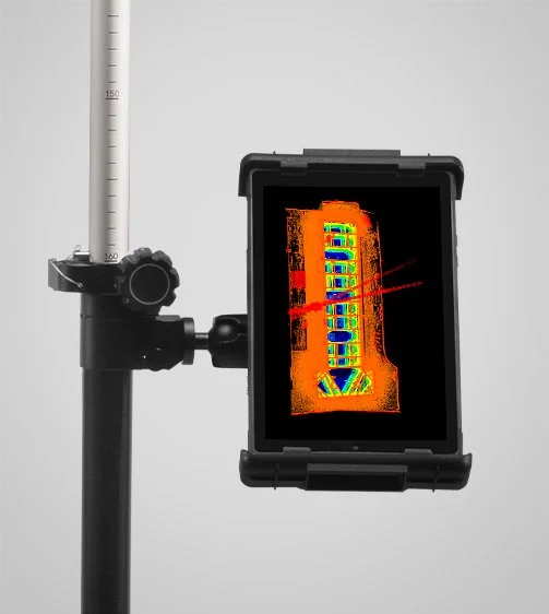
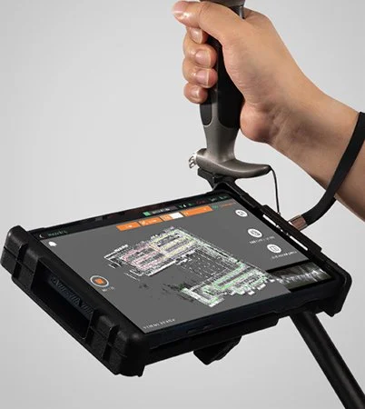
The RS10 creates georeferenced point clouds directly in the field with real-time SLAM capabilities. It provides immediate feedback on collected data, allowing for on-the-fly adjustments to ensure complete coverage.
Real-Time SLAM Mapping
Eliminate the need for traditional loop closure with integrated GNSS and SLAM technologies to simplify field data collection and reduce project completion time and effort.
Efficient Loop-Free Workflow
Use the RS10 for a wide range of applications, from BIM and forestry to power line inspection and underground mapping. Its versatility makes it an invaluable tool for professionals in various fields.
Versatile Application Support
Comprehensive Software Integration
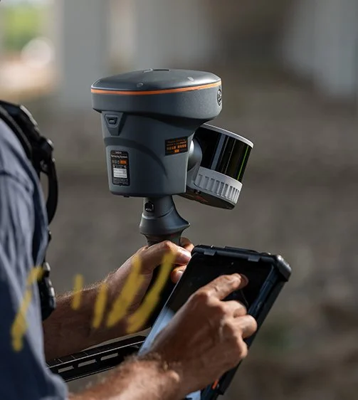
The RS10 streamlines your workflow with the SmartGo and CoPre software for real-time data visualization and point cloud processing. It supports efficient and accurate data management from collection to modeling.

Operate in challenging environments with the IP64-rated, lightweight RS10. The robust design ensures reliability and ease of use in diverse conditions.
Durable and Lightweight Design
Maintain continuous operation with the hot-swappable lithium battery. The RS10 offers 60 minutes of runtime per battery, allowing for seamless replacement without powering off the unit.
Hot-Swappable Battery


Specifications
Laser Scanner
Channels : 16 or 32
Range : 120 or 300 m
Scanning rate : 320.000 or 640.000 pulses/sec
Field of view : 210° x 170°
Returns : Up to 2
Positioning
GNSS : Full GNSS
Absolute accuracy : < 5 cm H / < 5 cm V
Relative accuracy : < 1 cm
Sensors
Camera : 15 MP (3x 5 MP)