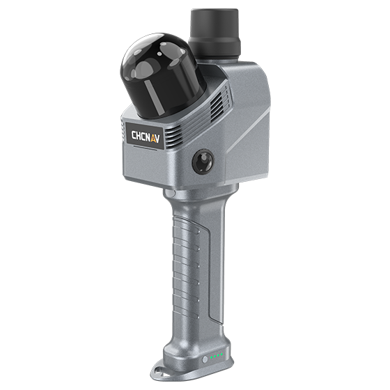
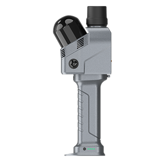
RS7
Handheld Real‑Time 3D LiDAR Scanner
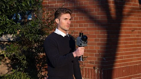
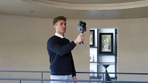
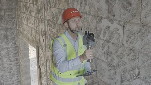
The RS7 is CHCNAV’s high-performance, tool-grade handheld LiDAR SLAM scanner for building and interior applications.
-
By fusing high-precision INS and SLAM, and featuring an IMU with bias instability better than 0.5°/h, it ensures stable motion tracking in feature-poor environments. With 1.15M pts/s LiDAR, a 360° × 189° ultra-wide FOV, HD imaging, 3D Gaussian Splatting, and device-to-cloud workflows, RS7 enables efficient and cost-effective 3D data capture.
Main Features
-
High-Rate LiDAR
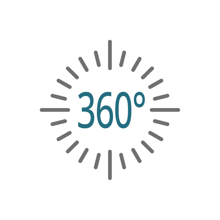
Up to 1.15 million pts/s. 360°×189° ultra-wide FOV
-

High-precision IMU
IMU bias instability better than 0.5°/h
-

HD Imaging System
Dual 12 MP HD cameras for sharper images in low-light conditions
-
Expansion Interfaces
Expandable design with an open hardware interface and SDK
INS + SLAM Fusion for Reliable Mapping
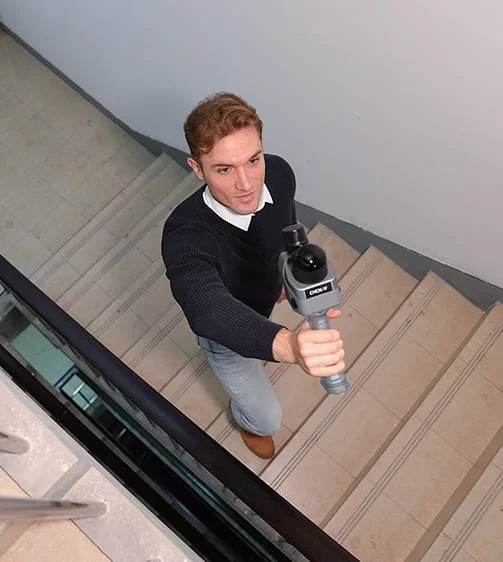
Equipped with a high-precision IMU with 0.5°/h bias instability, the RS7 accurately tracks motion in feature-poor environments such as corridors and multi-level staircases. Its powerful inertial performance ensures stable and complete SLAM results even where geometric features are limited.
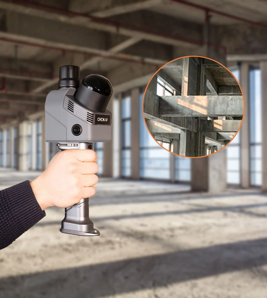
High-Rate Scan and Ultra-Wide FOV
The RS7 features a new-generation LiDAR scanner with a point rate of up to 1.15 million points per second, capturing fine objects and surface textures with high precision. With an ultra-wide field of view of 360° × 189°, it captures ceilings and confined spaces without manual angle adjustments, obtaining complete and accurate scans.
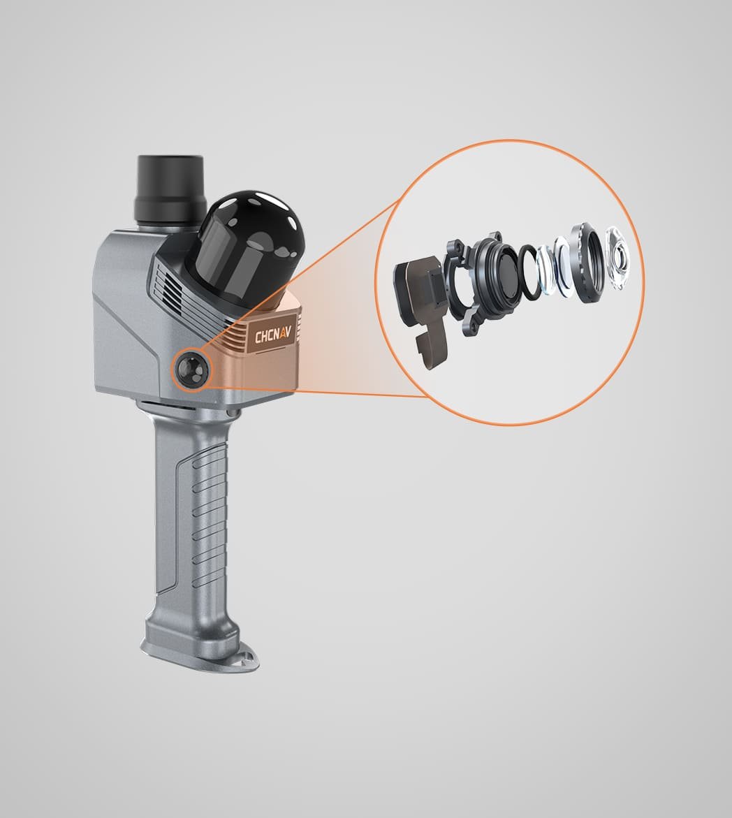
Dual 12 MP HD cameras with Sony binning technology deliver sharper images in low-light conditions. CHCNAV HPGS 2.0 engine generates 3D Gaussian Splatting models for real-color scene reconstruction, combining visual realism with precise geometric details.
HD Color for Pixel-Level Reality
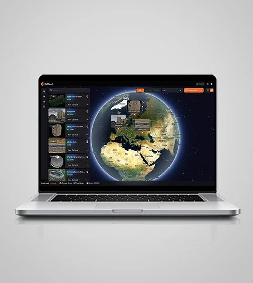
Expandable Design and Cloud Ready
RS7 features an expandable design with an open hardware interface and SDK support. Integrated with CHCNAV CoCloud, RS7 delivers a unified device-to-cloud workflow. Field data is uploaded with a single click, and processing runs automatically. Point clouds, mesh models, and 3D Gaussian Splatting results are ready for use.


Specifications
Laser Scanner
Channels : 64
Range : 40 m
Scanning rate : Single Return: 576000 pts/sec Dual Return: 1152000 pts/sec
Field of view : 360°×189°
Returns : Up to 2
Positioning
GNSS : GPS:L1.L2.L5 GLONASS:L1,L2 BEIDOU:B1.B2.B3 GALILEO:E1.E5a.E5b
Absolute accuracy : H <3cm RMS - V <3cm RMS
Relative accuracy : <1cm
Sensors
Camera : effective 48 MP x 2