 Image 1 of 1
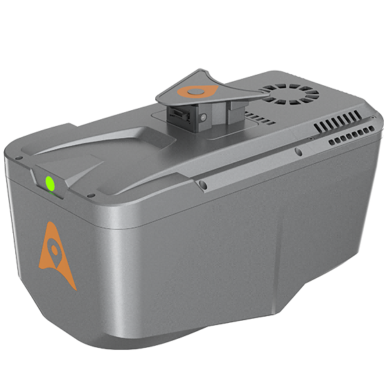
Long-range LiDAR scanning of up to 800 m, along with high-speed scanning of up to 500,000 points per second
Strong vegetation penetration, up to 8 returns, ability to easily generate real DEM, DSM in challenging conditions
Includes multi-constellation GNSS, high-precision IMU, and full-frame camera for high-accuracy UAV LiDAR+Imaging
Simple setup on various UAV platforms, including CHCNav X500 and DJI M350
Supports automated reality capture and real-time data visualization accessible directly from the UAV controller, enabling informed decision-making throughout the survey operation
Seamlessly integrates LiDAR and RGB sensors to meet the needs of professional UAV LiDAR mapping and drone photogrammetry.
All-in-one processing software, including strip adjustment and orthomosaic, as standard features